In the spirit of the many migrants that have made their way to California, the inspirational motto for the state is “Eureka! I have made it!”. Upon arrival in Death Valley National Park, which is situated on the border of Nevada and California, one's immediate response to this motto is “Why on Earth did I bother?” You cannot help but conjure up the imagery of the terrible journey the Joad family made through this area in Steinbeck's masterpiece, The Grapes of Wrath. The desert and lack of sensible regulation in Nevada (State Motto: “All for Our Country”) is oppressive enough, but when one starts to descend into Death Valley the oppression of the environment intensifies, as the sand turns black and the desert appears endless. However, like many desert environments the true value of the place reveals itself to those willing to dedicate some time.


Death Valley National Park sits in the Sierra Nevada's rain-shadow and is the hottest, driest and lowest national park in the USA. Incredibly, it supports nearly 1,000 native plant species as well as fish and snails. The lowest point is 282 feet below sea level in the middle of the valley. Death Valley is buffered to the west by the Panamint Mountains. Less than 100 miles beyond the Panamint is the highest point in continental USA, Mount Whitney of the Sierra Nevadas standing at 14,491 feet. It is thought that approximately 10,000 years ago, the valley was actually a large lake. As the last ice age ended and the climate warmed, the lake dried up and now is a mix of sand dunes and salt beds with sporadic small waterholes. A highly adaptive fish, the tiny pupfish, survives in this water, which is five times saltier than seawater and can warm up to 90 degrees Fahrenheit in summer.
 |
| Artist's Palatte |
What We Did
We arrived at Death Valley the day before Thanksgiving and camped at Texas Springs, a simple desert-style campground (i.e. lots of sand, little water). Our site was situated between two separate but equally amusing family groups. To the north of us was Uncle Gary and his gang. To the south, a frustrated mother with four boys and an excitable husband. Upon the arrival of his nephews and nieces, Uncle Gary jumped up and down exclaiming “Hey you guys, you're here! You're here!” (repeat ten to fifteen times), while his assortment of nephews and nieces ran around in circles shouting out “Uncle Gary, Uncle Gary, We're here! We're here!” (repeat ten to fifteen times). Their conversation continued pretty much unbroken until Mum (presumably Uncle Gary's sister) proclaimed to the whole campground, at around 9pm, that her son Harrison hadn't peed since 3pm and should do so immediately.
Our group to the south were obsessed with climbing the near by “mountains” (sandstone buttes next to the campground that were about 100 feet high). The chatter would begin at about 6am in the morning as to whether anyone would be willing to climb the mountain with the youngest son (“Would you like the come climb the mountain with me” said in an amazingly loud whisper). A fight would break out as to who first broke Mum's rule about no noise until 7am and eventually Mum would scream “You four! Go climb that mountain right now! And don't come back for at least an hour!” Meanwhile her husband was cheerfully chatting to anyone around the campground who would listen.
 |
| Zabrinski Point |
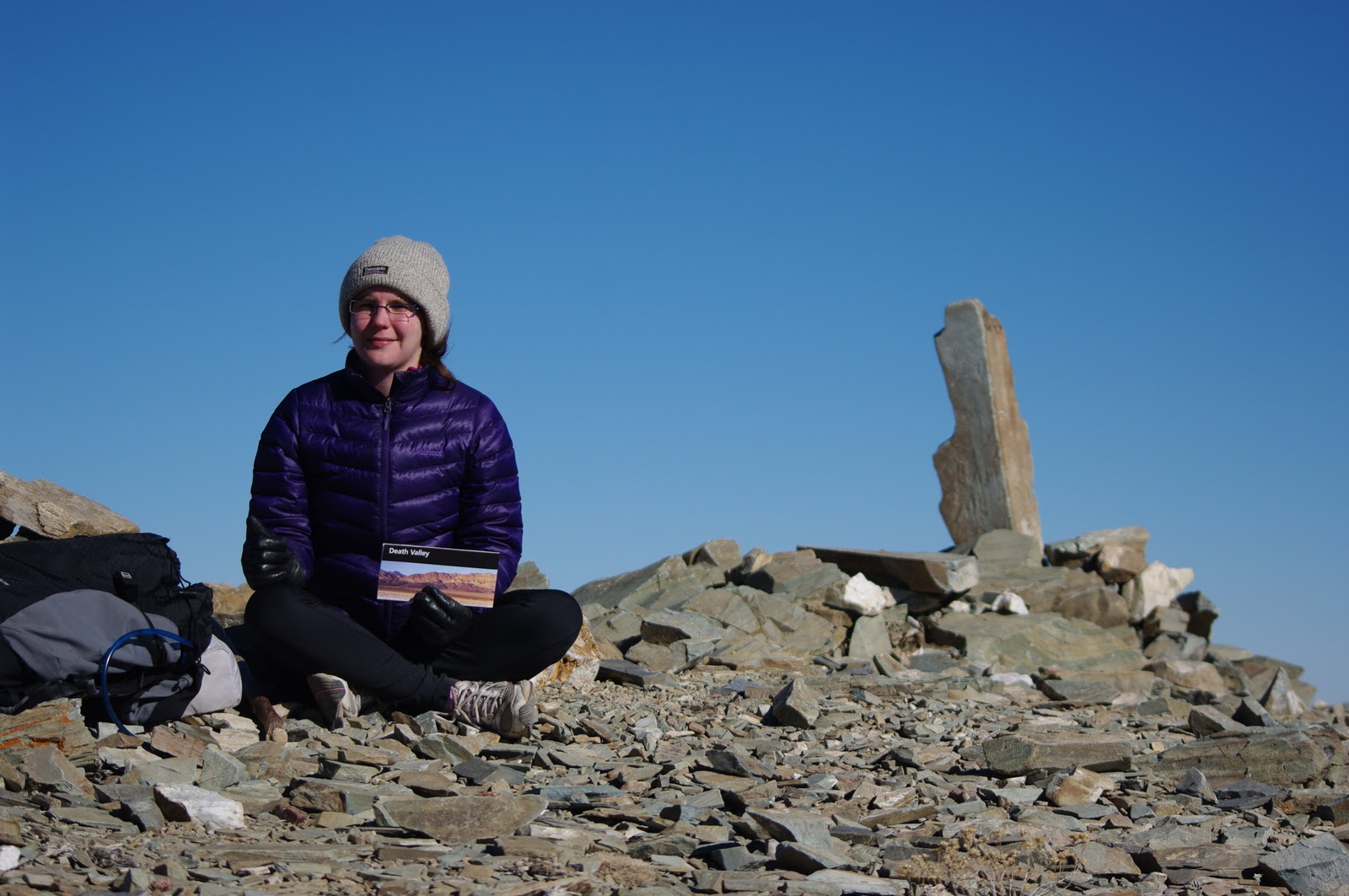
On Thanksgiving Day we undertook a trail run to the top of Wildrose Mountain (9064 feet high), to see the entire vista of Death Valley and most of the Panamint Valley. The trail starts at the Wildrose Charcoal Kilns. These kilns were built by Chinese laborers in 1877 to produce charcoal to support the nearby silver-lead mines that then operated in the region. The trail is 8.4 miles return and the elevation gain is 2,200 feet. It climbs steadily through the desert forest, Pinyon pines and juniper. The summit is exposed and windswept and we had a cold, uncomfortable lunch there before our descent. By the time we returned to Texas Springs, our appetite was sufficiently piqued to enjoy a large Thanksgiving meal of steaks, roast potatoes and carrots, a cheese plate, California red wine and raspberry pie.
Death Valley also provides a plethora of scenic drives. We indulged in a selection of short drives, visiting Artist's Palate, Zabriskie Point and the exit route through the Panamint Mountains to the eastern side of the Sierra Nevadas. (Death Valley is a large park in the contiguous US, and you could easily do a 200 mile scenic drive in a day if you were that way inclined). Artist's Palate is an assortment of buttes that display an interesting array of colours, including bright pinks and greens. Zabriskie Point is an unusual small anomaly of badlands type buttes. The Panamint Mountains, as mentioned above, buffer the western flank of the national park. The drive over this mountain pass is spectacular but a little hairy, with an elevation gain from below sea level to 7,500 feet back down to 2,000 feet. Most of this elevation gain is up the side of the ancient lake-bed, which is an even 6% grade. You literally stay on the same trajectory for about 30 miles, gaining more than 5,000 feet elevation.
 |
| The road to Panamint Mountains pass |
No comments:
Post a Comment